“Roads? Where we’re going, we don’t need roads.”
— Dr. Emmett Brown, Back to the Future
Most drivers purchase a GPS navigation system to help keep them on the road. For real explorers who refuse to confine their greatest adventures to the pavement, however, Garmin just released a rugged, all-terrain GPS device that opens a whole new world of off-road exploration.
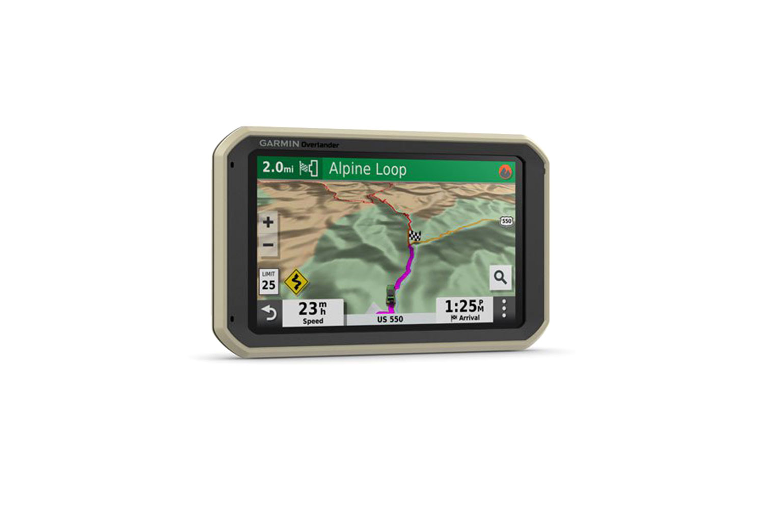
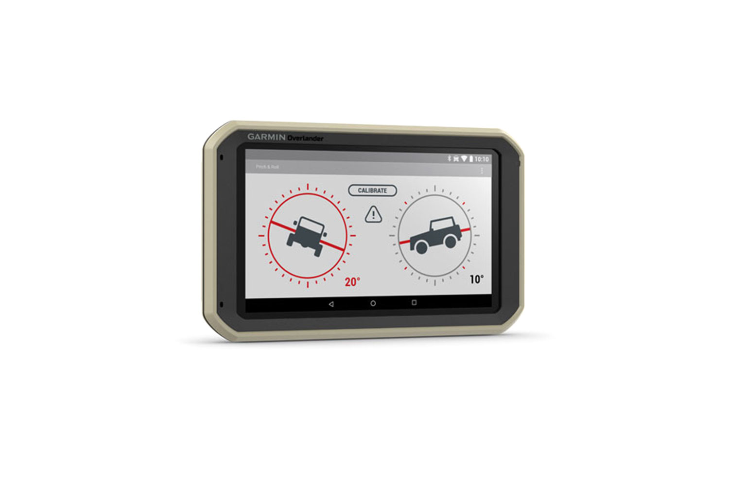
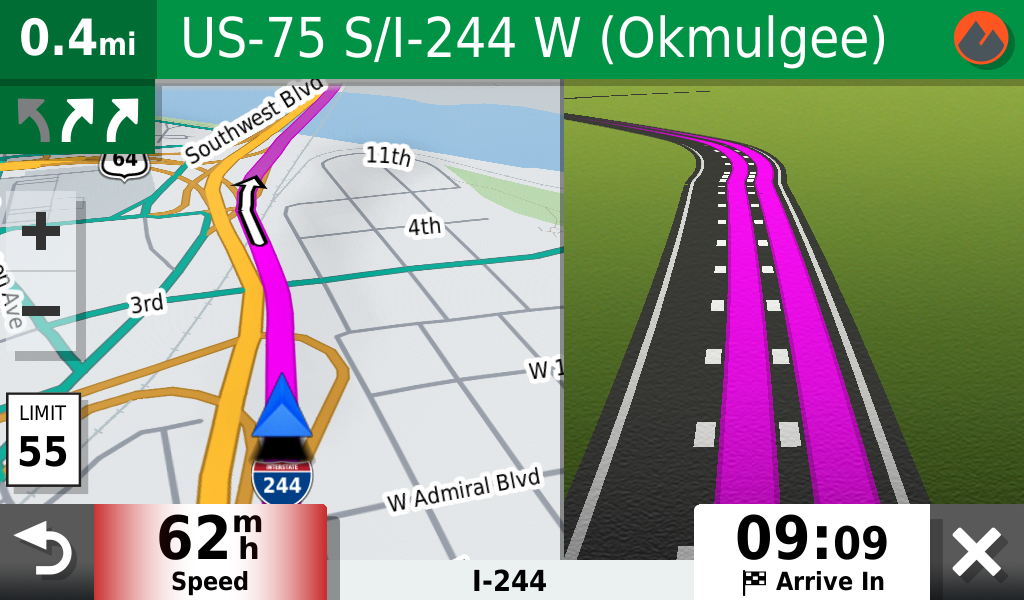
Garmin’s new 7-inch touchscreen Overlander offers everything most users expect of a traditional GPS unit, including turn-by-turn directions throughout North America and South America. What sets it apart, however, is that it’s a true, off-road-centric navigation device with features designed to help navigate as well off the pavement as on. It’s purpose-built for anyone who likes their adventures as far from civilization as possible.
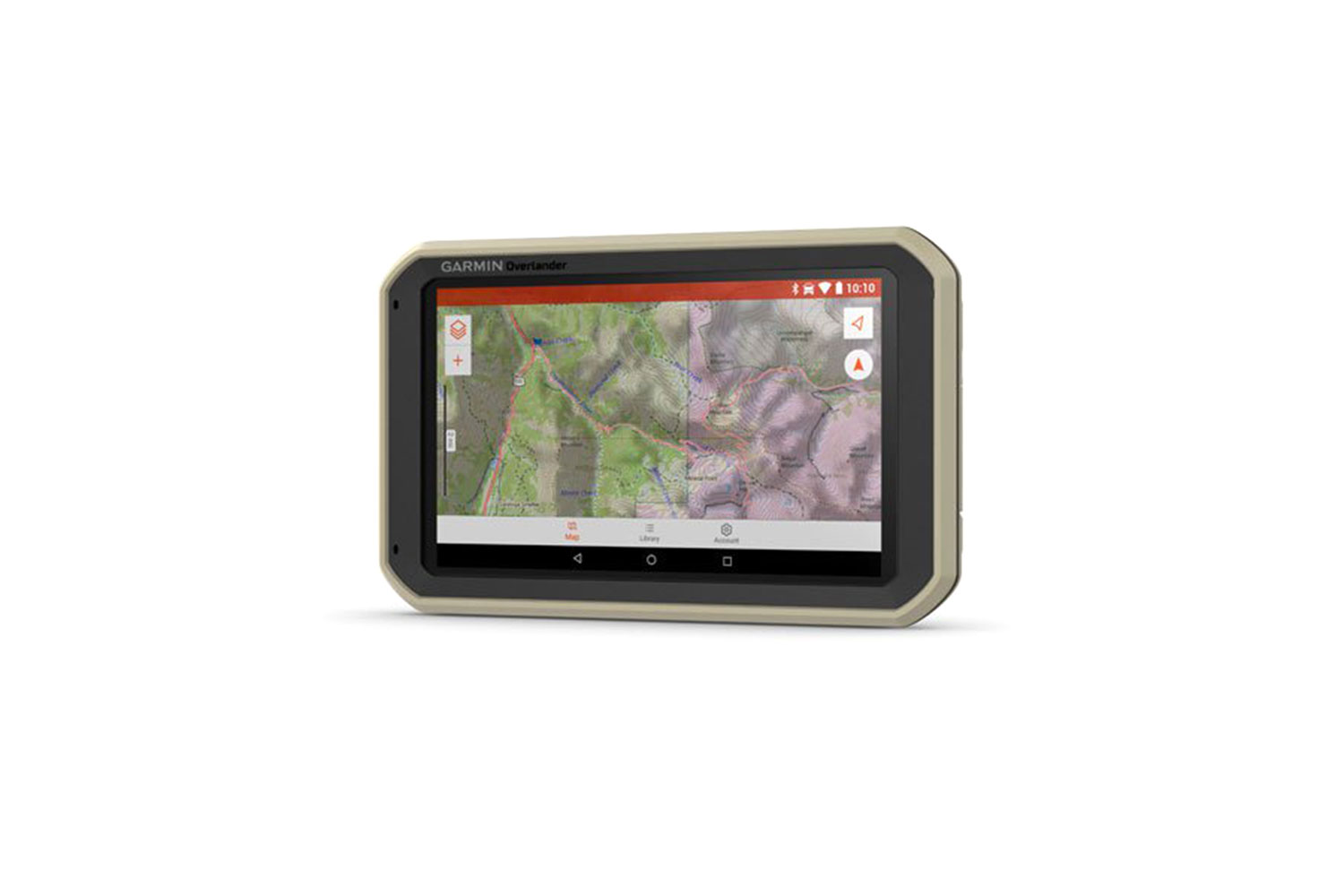
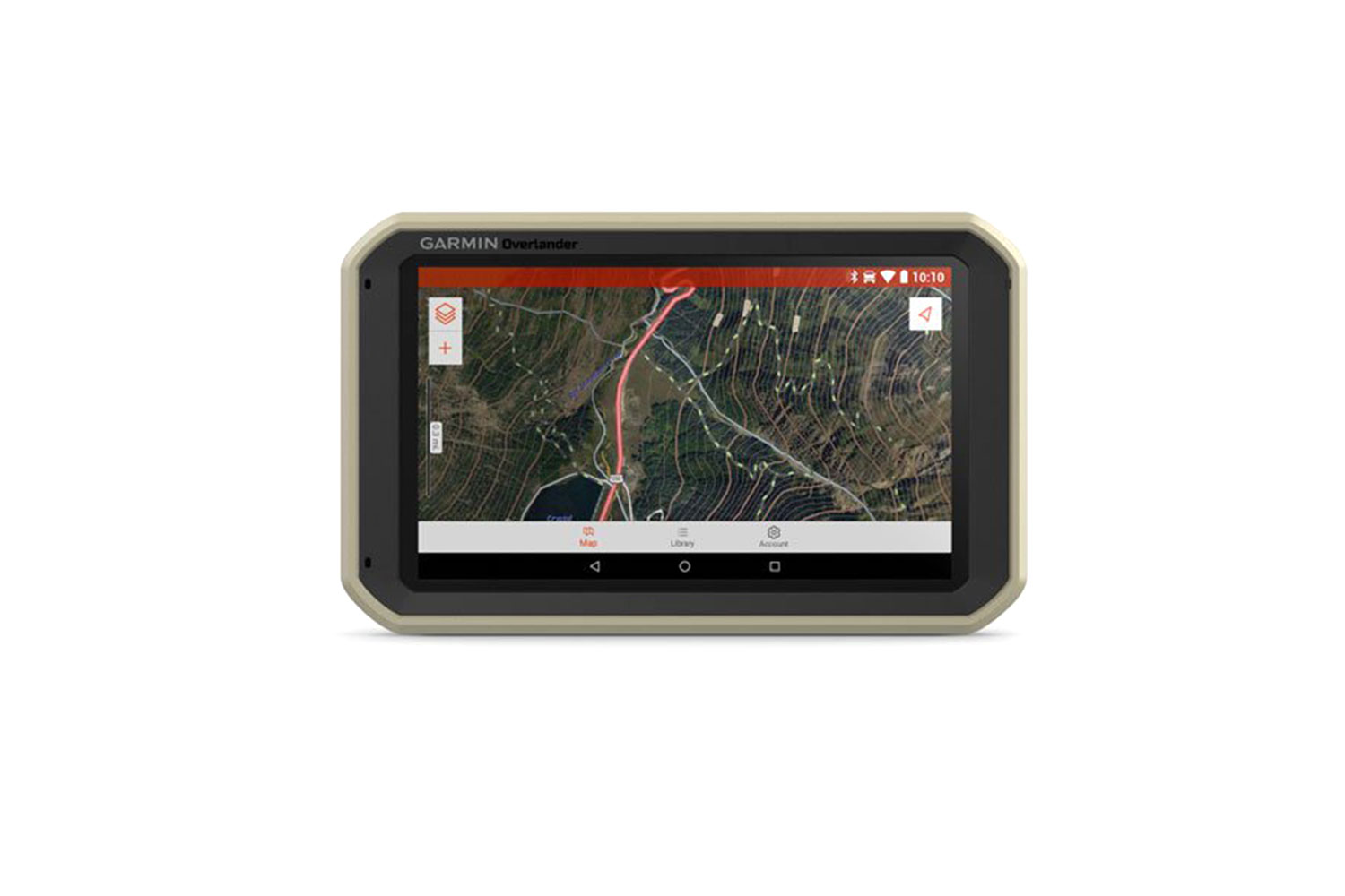
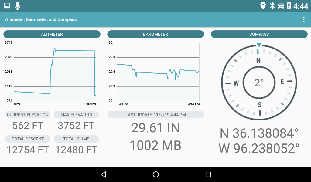
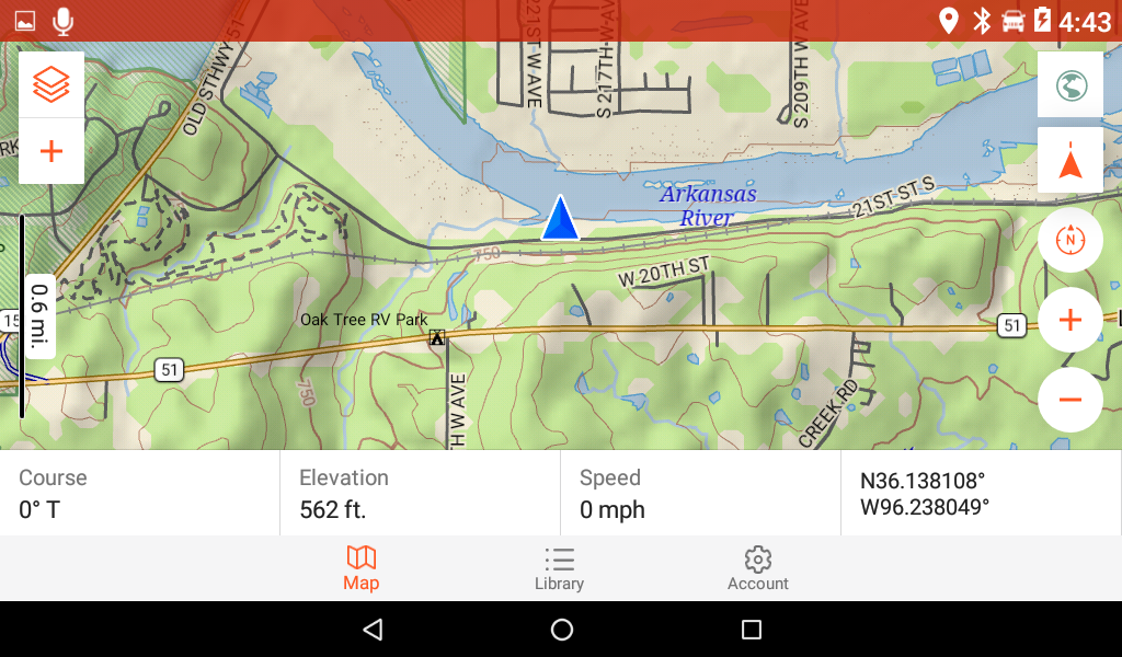
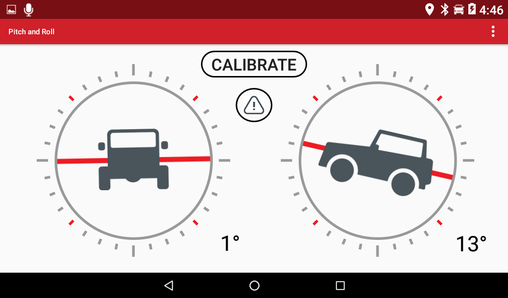
In addition to paved roads and highways, it features topographical maps of public land boundaries, forest service roads, dedicated 4×4 routes, waterways, and activity trails, along with extensive campground information and detailed land-use data. Going the extra mile, so to speak, the service provides an included compass, altimeter, barometer, and pitch and roll angles to help navigate the roughest terrain. Overlander can even be customized for specific vehicles, allowing it to adjust navigation based on vehicle weights and overall dimensions to account for steep grades, sharp curves, and bridge overpasses.
All mapping data comes pre-loaded onto the device for cell-signal-free navigation. Via Garmin’s free Explore app, personal data can be wirelessly synced across the GPS device, desktop computers, and smartphones. The information can then easily be shared with friends and family before heading out into the wild.
Garmin Overlander GPS Review
Design and Construction
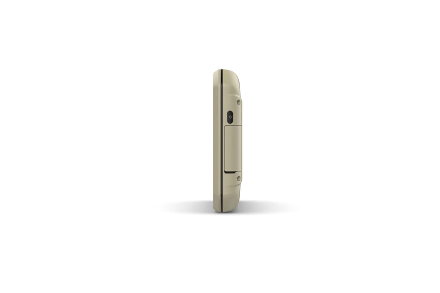
The first thing we noticed is how solid and durable the Overlander feels. It’s surprisingly lightweight, yet it feels sturdy, as though it would require a good deal of intentional misuse to damage it. Indeed, it’s water-resistant, IP5X dust-protected, and MIL-STD-810 drop-protected. The oversized 7-inch screen is big, and it feels big. When mounted to a windshield, most smartphones all but disappear from your line of sight without noticeably distracting from the field of view. The Overlander, on the other hand, demands to be noticed. At roughly 8 inches wide by 5 inches tall, it’s like having an iPad Mini affixed to the windshield. The oversized screen is great for displaying tons of detailed trip information simultaneously. However, even against the large windscreen of our Toyota test truck, it created a blind spot that was hard to overlook.
Setup
Like most GPS units, the Garmin Overlander is ready to use out of the box, although it’s best to update the map data to get the most out of the device. We found this to be a simple and straightforward if time-consuming process: Plug the unit into any computer using the provided USB cable, download and launch Garmin’s free desktop software, and follow the prompts. Depending on how out-of-date your device’s maps are from the factory, the process could take all day. For us, it was about nine hours from start to finish. To be fair, most of that time was hands-off with the software downloading and automatically installing on its own.

From there, it’s a matter of pairing or connecting the Overlander with any optional devices like a home network or smartphone. We found the Bluetooth and Wi-Fi connection process in both cases to be quick and painless. The Overlander can also work in tandem with Garmin’s inReach satellite messenger products (more on that in a minute).
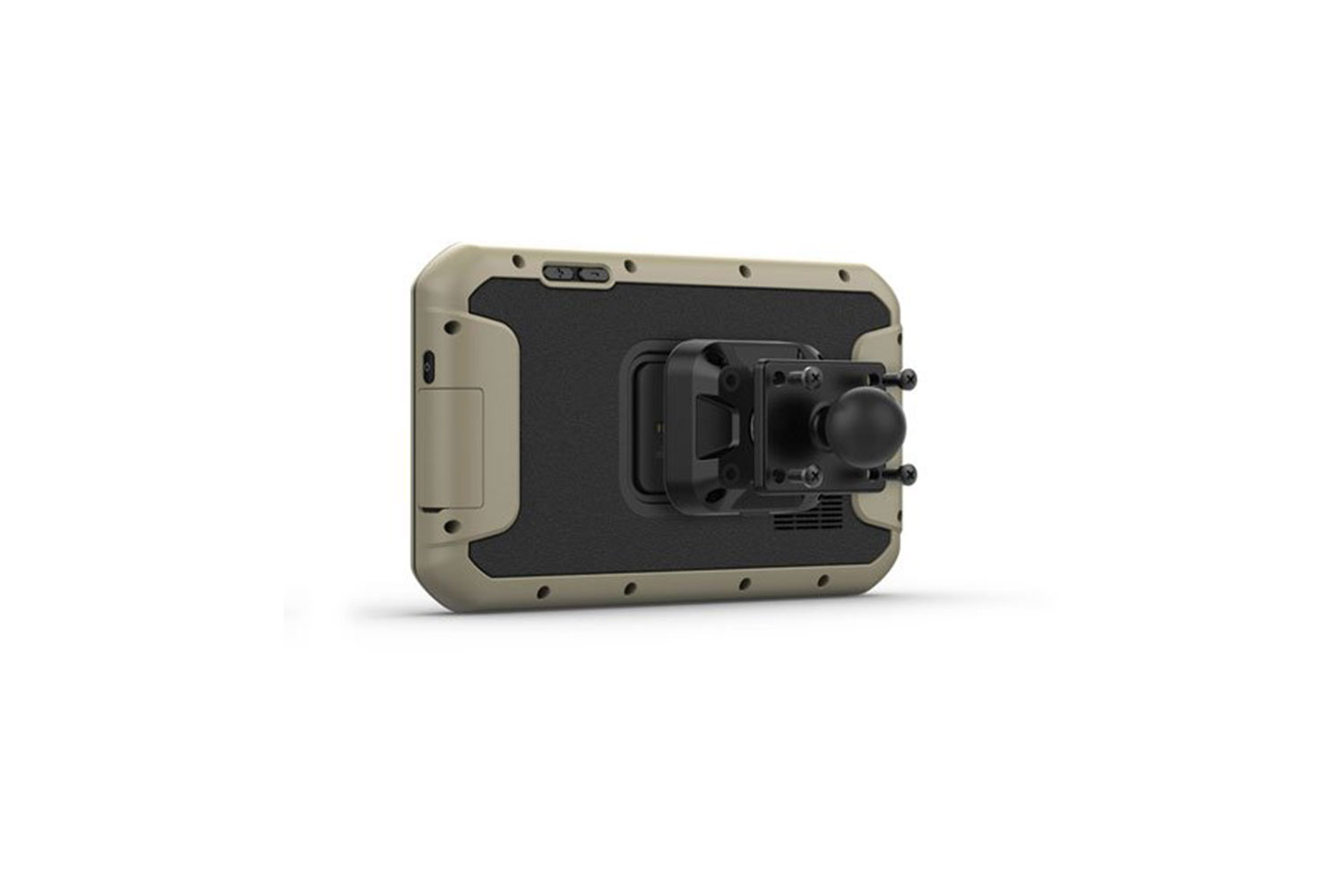
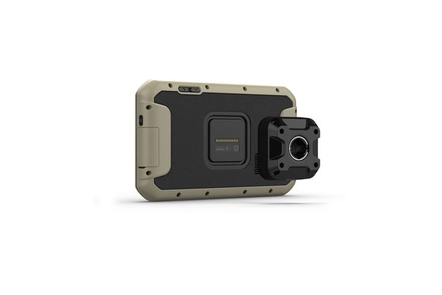
Installing the unit in a car or truck is likewise straightforward. A dedicated charging cable and suction cup mount are included in the box. The latter features a strong magnetic plate to secure the Overlander in place. Both work well, and we had no issue with the GPS unit rattling loose or falling off the mount entirely. Our main gripe is that we weren’t able to angle the Overlander toward the driver seat. Because of how the unit sits in the mount, the large screen was essentially fixed in place, pointing straight back toward the rear of the truck. It was still usable in this position, but mildly annoying.
User Interface
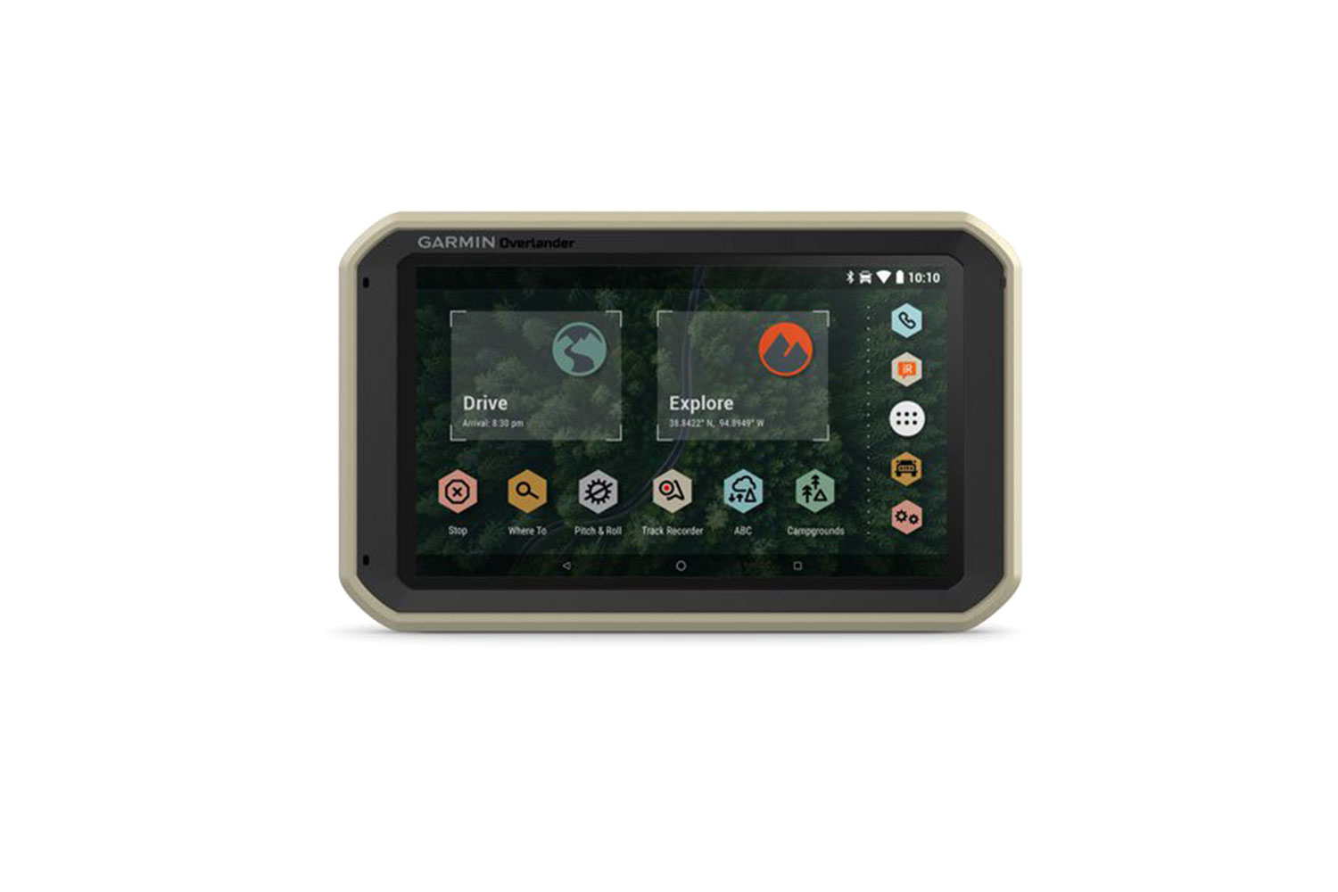
The touchscreen display is crisp, clear, and responsive with a user interface that is straightforward and easy to use. Android users will recognize the home screen layout while Apple iOS users will still have no problem navigating the Overlander’s deep menus and options. Every icon is clear and well-marked, minimizing fumbling around to find what you’re looking for. Plus, like most Android smartphones, the home screen is customizable with the widgets and data you find most useful.
Navigation
Navigation is handled through one of two modes: Drive (for on-road navigation) and Explore (for off-roading). On-road, the Overlander works like most other Garmin GPS devices. The turn-by-turn directions and voice guidance work reasonably well. In our two weeks of testing in the U.S. and Canada, the device wasn’t without its quirks, though. In Jasper National Park, for example, the area’s most historic and well-known hotel was not in the Overlander’s database of places. In some instances, the GPS instructed me to turn through an area blocked by a median in the middle of the road. On several occasions, it sent me around an entire city block through a series of four right turns when a single left turn would have sufficed. For Google Maps, which I had open as a backup during my Overlander testing, none of these “issues” was an issue. These instances were rare and relatively minor. Ten years ago, they may have been easier to overlook, but in today’s world of spot-on smartphone GPS navigation, they can prove frustrating.

Where the Overlander shines is off-road: Mountains, the backcountry, BLM land, and “uncharted” dispersed campsites. In other words, all the places Google Maps literally can’t take you. In our testing in rural Oklahoma and Alberta, Canada, we were hard-pressed to find a gravel access road or obscure stretch of off-highway dirt that wasn’t in Overlander’s database. The comprehensive route and environmental information — things like elevation, barometric pressure, topographic maps, waterways, vehicle pitch and roll — provide everything needed to stay the course. What’s more, it’s all accessible without a cell signal. For adventurous road-trippers, that freedom to turn off the freeway almost anywhere and never get lost is incredibly liberating.
Add-Ons and Extensions
Out of the box, the Overlander is a one-way affair set to only receive data. However, users can expand its capabilities by pairing with Garmin’s inReach line of satellite and two-way messaging devices (sold separately). We tested this functionality by pairing it with a Garmin inReach Mini satellite communicator. After activating the inReach subscription and pairing it via Bluetooth with the Overlander, we wedged the communicator into the corner of our Toyota’s dash with a clear line-of-sight to the sky. Once in place, we could let it act as a two-way antenna for the Overlander and largely forget about it. We then had access to GPS navigation, two-way SMS messaging, weather reports, and 24/7 SOS rescue monitoring — all through the Overlander’s touchscreen. With this added functionality, the Overlander becomes an invaluable tool for off-grid road-trippers looking to not only navigate the backcountry but to keep in touch with family and friends while doing so.
Overall
The bottom line is that the Garmin Overlander is a solid niche product. For travelers who stick to paved roads with only occasional off-roading, a smartphone-based solution like Google Maps or Waze is still the best option. For hardcore campers, overlanders, and anyone who appreciates frequent off-grid escapes, the Overlander is an excellent all-in-one alternative. Its on-road shortcomings are easily overlooked when considering everything else that it can do.
The dizzying collection of detailed off-road maps makes it all but impossible to get lost; the two-way messaging potential allows users to stay in touch from literally anywhere in the world; and the rich database of campgrounds and campsites makes it easy to find a place to stay once you get where you’re going — even when you don’t know where you’re going. The only real question is: Are you willing to pay almost $700 for all that convenience?
The Garmin Overlander is now available
