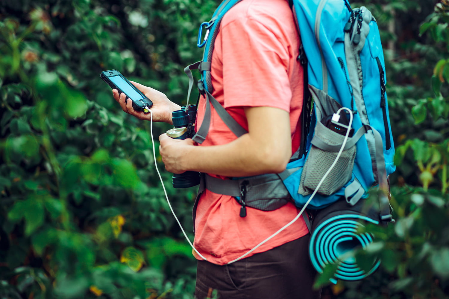
GPS used to require expensive devices but now the power can be found in our pocket. Most phones easily connect to the GPS network and show your exact location anywhere on the planet. Whether we’re hiking Mount Everest, Peru, or Portland, we can see our location on a map. The only downside? Getting cell reception.
To get updated maps and download information from the internet, our phones need to connect to a network, which is only available within a range of a cell tower. We can’t send messages, we can’t use many apps, and we certainly can’t view new maps.
The solution is to download offline content. We’ve rounded up the best offline GPS apps for tracking, hiking, hunting, traveling, and everything in between.
Why Go Offline?
Apps and maps aren’t much use if they don’t update while you move. Many apps allow you to download maps ahead of time via Wi-Fi or cell network, then use them out on the trail when you’re hiking. Cell reception can be spotty or non-existent in the backcountry. With the maps already loaded, you don’t need a data network. All you require is a clear view of the sky for the GPS satellites and you’ll know exactly where you are.
That being said, too many people have gotten lost when their phone fails or directs them to the wrong place, so we have to mention that you should always have a backup for navigation. If the battery dies on your phone, a map and compass will always show you the way.
Best Offline GPS Apps
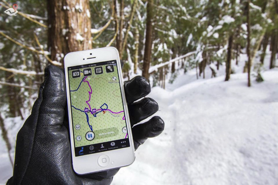
ViewRanger
Available for iOS and Android
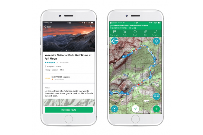
ViewRanger is one of the best mapping apps out there. Plan your route beforehand and keep a track of exactly where you went. Add geotagged photos to your trip and it knows where you took them on the map. Download maps ahead of time so you don’t need to rely on the cell signal.
The Skyline feature introduces augmented reality to ViewRanger. Looking through the camera, it overlays mountain names, waypoints, and navigation arrows, so you know exactly what you’re looking at. The Premium version gets you the 3D and augmented reality views. A variety of other more detailed maps for specific areas can be purchased in the app. It’s also available for Apple Watch and Wear OS.
Gaia GPS
Available for iOS and Android
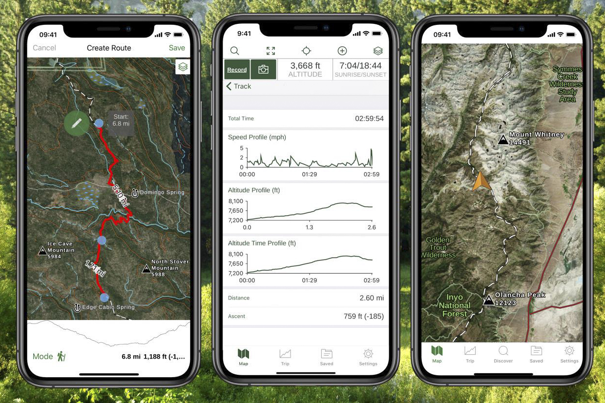
When searching for the best GPS apps online, you won’t go far without tripping over Gaia GPS. With your offline maps, the free version of the app offers online route organization and easy device sync so you can track and organize all your adventures in one place. With the $20 membership, you can download maps anywhere in the world. The $40 Premium membership gets you access to other maps like NatGeo Trails Illustrated and U.S. Hunting layers.
AllTrails
Available for iOS and Android
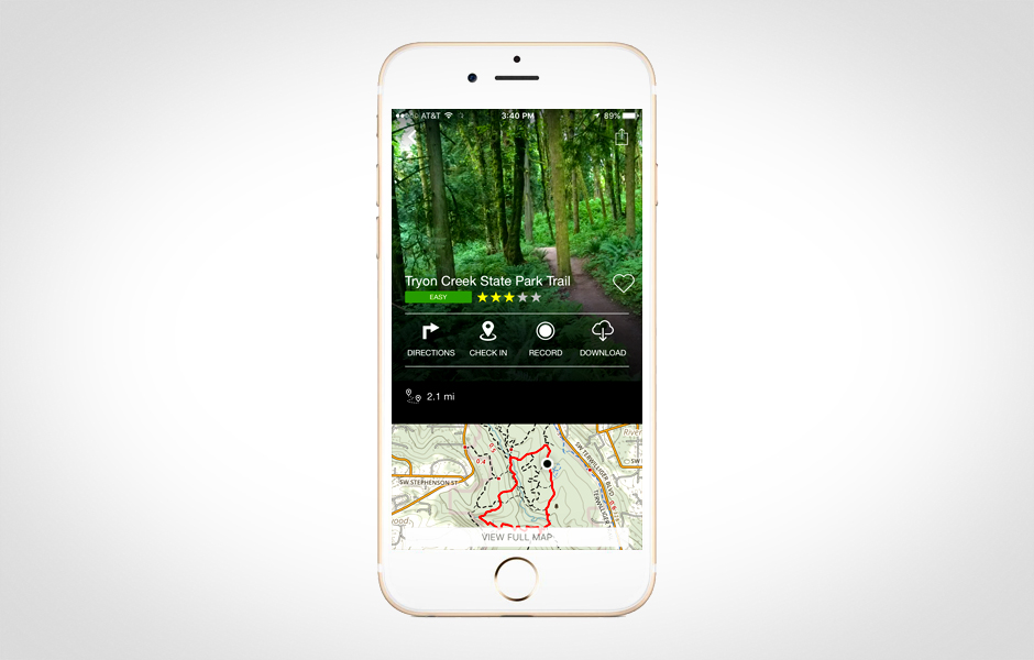
Some apps have great maps but don’t include any trails on them. AllTrails has one of the biggest trail databases online. It automatically shows you all the trails around you for quick adventures. Other users can leave feedback on each of the routes, letting you know what it’s really like. Is it going to be an easy jaunt around the lake or a suffer-fest of steep hills? Maps are downloadable with the ad-free Pro version that costs just $30 per year.
Ramblr
Available for iOS and Android
Most GPS apps give you a map and some tracking tools but rarely do they let you log and record your adventure as you go. Ramblr is more of an adventuring journaling app. Maps are downloadable for navigation offline. Take photos, record video and audio, and type out stories during your journey. Everything is put onto the map as you go. Once you’re done, easily share to Facebook and Twitter so others can experience your epic adventures too.
Maps 3D Pro
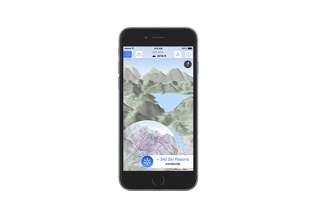
Maps can be hard to decipher when you’re looking up at the mountains and down at a two-dimensional drawing for where you are. Maps 3D Pro shows everything in three dimensions so it’s easy to see that hills are hills and mountains are mountains. The app tracks all your stats from the hike and can also be used in 2D mode. An in-app purchase is required for offline maps and another for an extra map package.
Editors' Recommendations
- Ditch the GPS: How to navigate using a map and compass
- Get the best nature apps for identifying unknown plants and critters right from your smartphone
- The best leg gaiters for exploring the snowy outdoors this winter
- Keep your fingers toasty warm this winter with the 7 best hand warmers
- The best heated clothing for your cold-weather adventures in 2023


